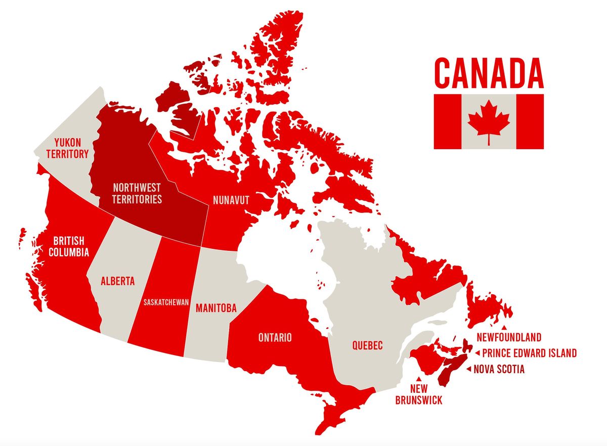
Canada Map Quiz
Share


Test your knowledge of Canada’s vast and diverse geography with our Canada Map Quiz. From the bustling cities of the east to the serene landscapes of the west, this quiz will challenge your understanding of the Great White North’s provinces, territories, and major landmarks. Whether you’re a geography enthusiast or just curious about Canada’s layout, this quiz offers a fun and informative way to learn more about this beautiful country. Good luck and have fun!
We recommend that you do not leave the page that you are taking this quiz in. Stay honest 🙂
Canada Map Quiz Questions Overview
1. Which province is the largest by area in Canada?
Ontario
Quebec
British Columbia
Alberta
2. Which Canadian city is located closest to the United States border?
Toronto
Vancouver
Montreal
Ottawa
3. Which province is known as the ‘Land of 100,000 Lakes’?
Manitoba
Ontario
Saskatchewan
British Columbia
5. Which Canadian province is an island?
Nova Scotia
Prince Edward Island
Newfoundland and Labrador
New Brunswick
6. Which territory is home to the city of Yellowknife?
Yukon
Northwest Territories
Nunavut
British Columbia
7. Which province is known for its French-speaking population?
Ontario
Quebec
New Brunswick
Nova Scotia
8. Which Canadian province has the largest population?
British Columbia
Quebec
Alberta
Ontario
9. Which Canadian province is known for its Rocky Mountains?
British Columbia
Alberta
Saskatchewan
Manitoba
10. Which territory was the last to join Canada in 1999?
Yukon
Northwest Territories
Nunavut
British Columbia
We recommend that you do not leave the page that you are taking this quiz in. Stay honest 🙂
Can Your Friends Do Better Than You in This Quiz?
Share this quiz with your friends and compare results.


Was this page helpful?
More Popular Geography Quizzes:
-
 Top Quiz
Europe Quiz
-
 Top Quiz
Kenya Ferry Quiz
-
 Top Quiz
National Parks Quiz
-
 Top Quiz
Geography Quiz
-
 Top Quiz
Caribbean Island Quiz
-
 Top Quiz
Bing Mountains Quiz
More Interesting Quizzes For You:
-
 Top Quiz
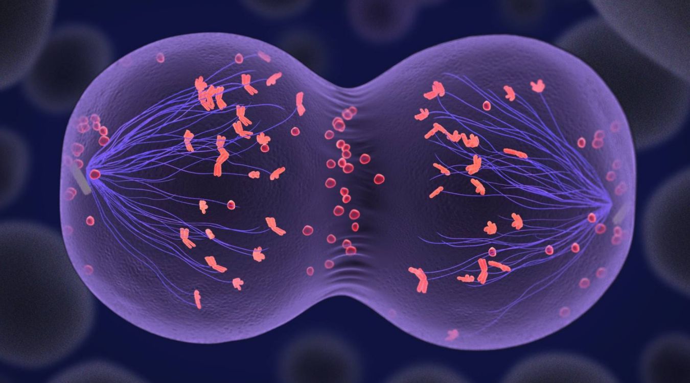
Mitosis vs. Meiosis Quiz
-
 Top Quiz
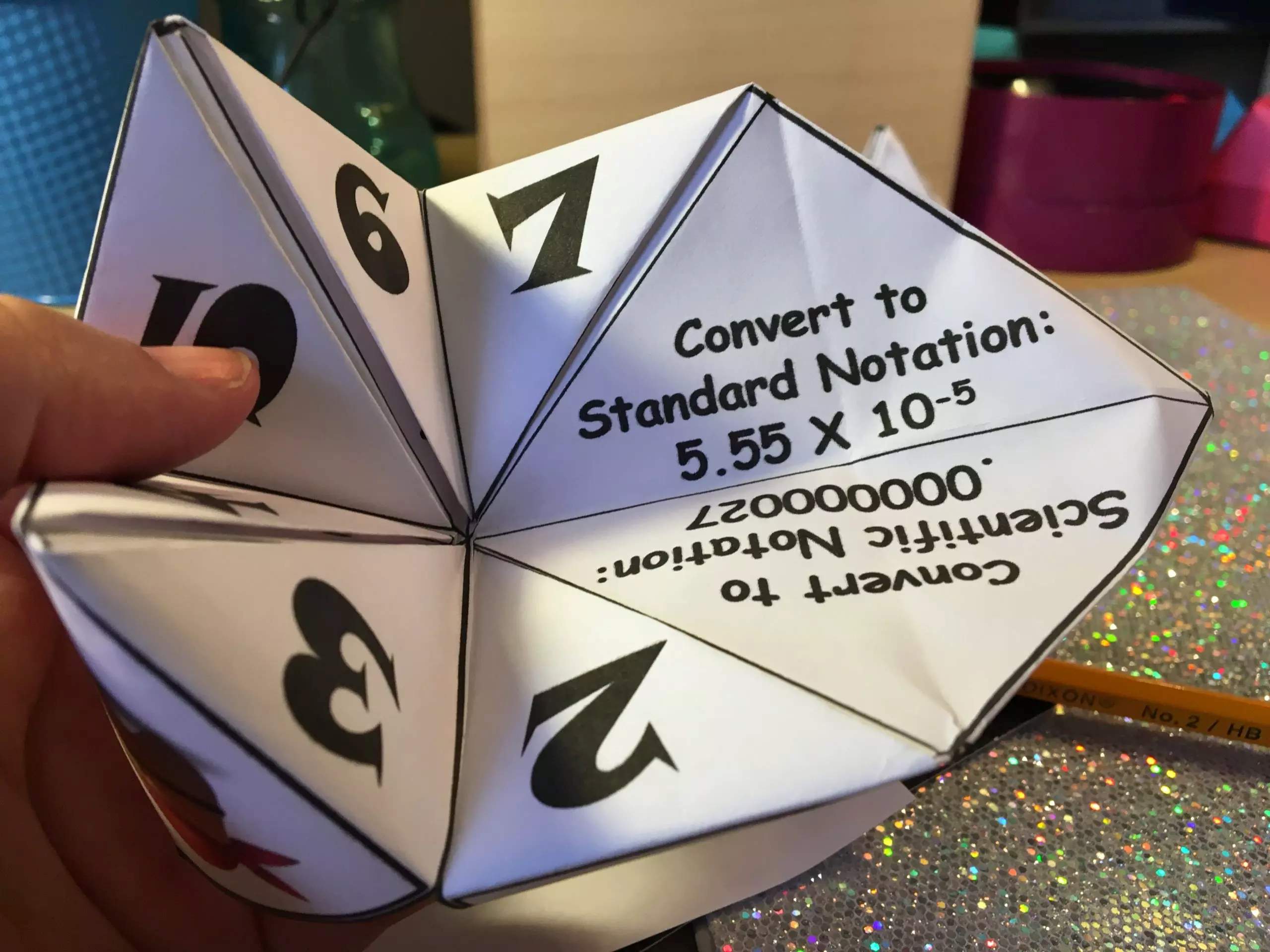
Scientific Notation Quiz
-
 Top Quiz
OSHA Quiz
-
 Top Quiz
What Are My Weaknesses Quiz
-
 Top Quiz
Car Parts Quiz
-
 Top Quiz
Am I Sped Quiz