Google Earth Quiz
Share


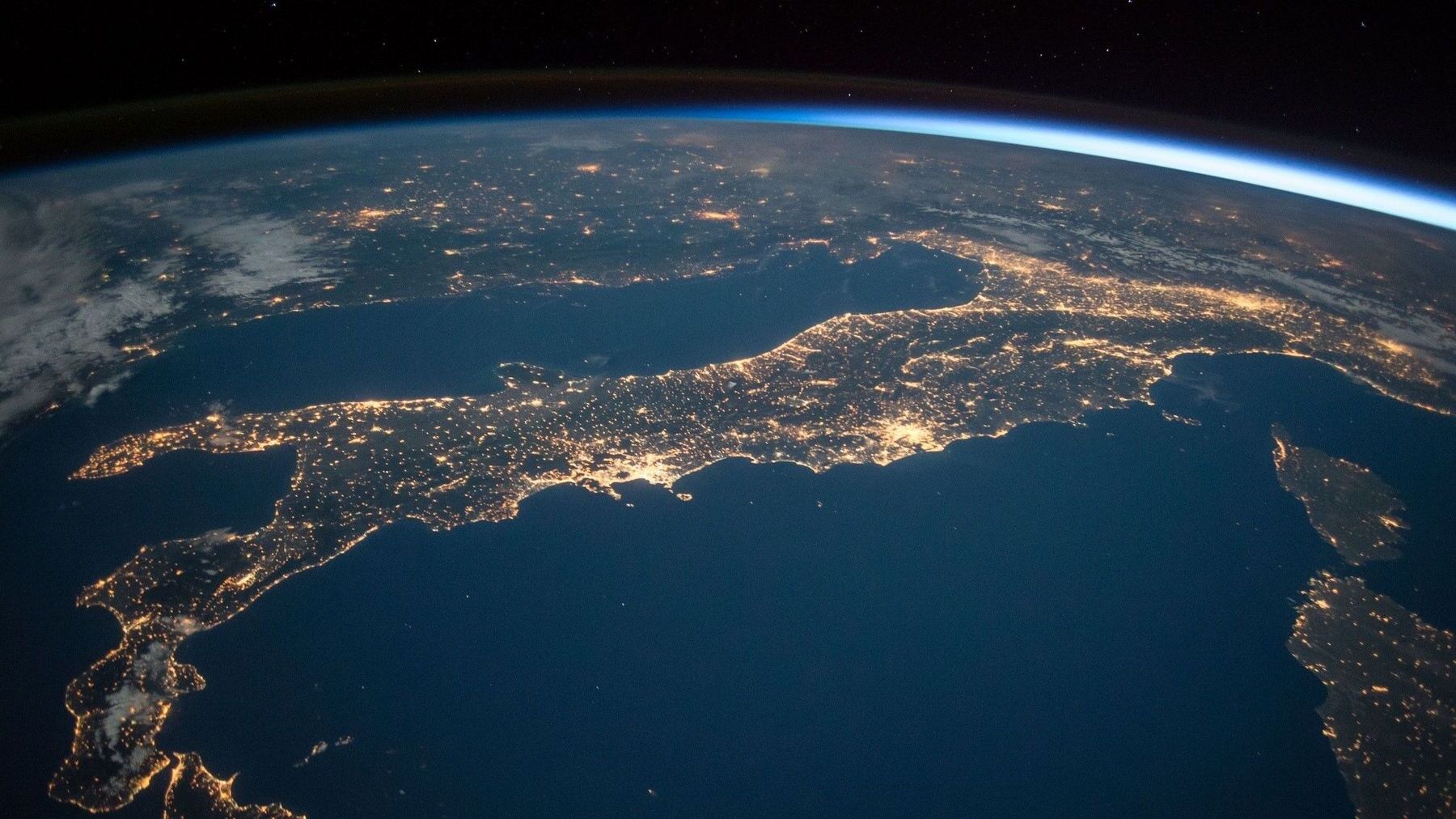
Google Earth allows us to explore the world from the comfort of our homes, offering a bird‘s-eye view of the planet‘s landscapes, cities, and natural wonders. This quiz will challenge your understanding of Google Earth’s capabilities and the geographical insights it provides. Are you ready to see how well you know our world through the lens of Google Earth? Let‘s get started and see how much you can score!
We recommend that you do not leave the page that you are taking this quiz in. Stay honest 🙂
Google Earth Quiz Questions Overview
1. What year was Google Earth first released?
2001
2005
2008
2010
2. Which company originally developed the software that became Google Earth?
Keyhole, Inc.
EarthViewer, Inc.
GeoVision, Inc.
TerraFirma, Inc.
3. What is the primary data source for Google Earth’s imagery?
Satellite imagery
Aerial photography
Street view cars
Drone footage
4. Which feature allows you to view historical imagery in Google Earth?
Historical View
Time Slider
Past View
5. What is the name of the tool in Google Earth that allows you to measure distances?
Tape Measure
Distance Calculator
Measuring Stick
6. Which layer in Google Earth provides information about roads and highways?
Roads
Transportation
Highways
Routes
7. What is the name of the feature that allows you to explore the ocean in Google Earth?
Ocean Explorer
Sea View
Underwater
Ocean
9. What is the 3D modeling tool integrated into Google Earth called?
3D Builder
SketchUp
Model Maker
GeoModel
10. Which feature in Google Earth allows you to view panoramic images of streets?
Street View
Panorama
Road View
Street Panorama
We recommend that you do not leave the page that you are taking this quiz in. Stay honest 🙂
Can Your Friends Do Better Than You in This Quiz?
Share this quiz with your friends and compare results.


Was this page helpful?
More Popular Geography Quizzes:
-
 Top Quiz
Europe Quiz
-
 Top Quiz
Kenya Ferry Quiz
-
 Top Quiz
National Parks Quiz
-
 Top Quiz
Geography Quiz
-
 Top Quiz
Caribbean Island Quiz
-
 Top Quiz
Bing Mountains Quiz
More Interesting Quizzes For You:
-
 Top Quiz
Hysterectomy Quiz
-
 Top Quiz
1st Grade Math Quiz
-
 Top Quiz
Justin Bieber Quiz
-
 Top Quiz
90s Trivia Quiz
-
 Top Quiz
Angles Quiz
-
 Top Quiz
Race Quiz