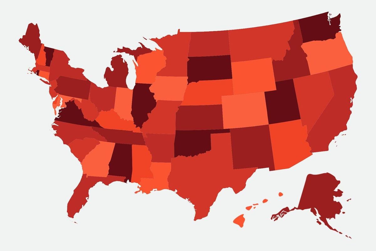
Maps are more than just tools for navigation; they are windows into the world, revealing the intricacies of our planet‘s geography. This quiz will take you on a journey through the fascinating world of map-making, testing your knowledge on everything from historical cartography to modern mapping techniques. Ready to chart your course? Let‘s begin!
Questions Overview
1. What is the term for a map that shows the physical features of the land, such as mountains and rivers?
Political map
Topographic map
Climate map
Economic map
2. Which ancient civilization is credited with creating some of the earliest known maps?
Egyptians
Greeks
Babylonians
Romans
3. What is the name of the line that divides the Earth into the Northern and Southern Hemispheres?
Prime Meridian
Tropic of Cancer
Equator
Tropic of Capricorn
4. Which projection is commonly used for nautical navigation because it preserves angles and shapes over small areas?
Mercator projection
Robinson projection
Peters projection
Goode’s homolosine projection
6. Which type of map would you use to show population density?
Political map
Topographic map
Choropleth map
Climate map
7. What is the name of the imaginary line that runs from the North Pole to the South Pole and passes through Greenwich, England?
Equator
International Date Line
Prime Meridian
Tropic of Cancer
8. Which map feature explains the symbols and colors used on the map?
Scale
Compass rose
Legend
Grid
9. What is the term for a map that shows boundaries between countries, states, or other political units?
Physical map
Political map
Climate map
Topographic map
Can Your Friends Do Better Than You in This Quiz?
Share this quiz with your friends and compare results.
Was this page helpful?
More Popular Geography Quizzes:
-
Europe Quiz
-
Kenya Ferry Quiz
-
National Parks Quiz
-
Geography Quiz
-
Caribbean Island Quiz
-
Bing Mountains Quiz


