North Africa Map Quiz
Share


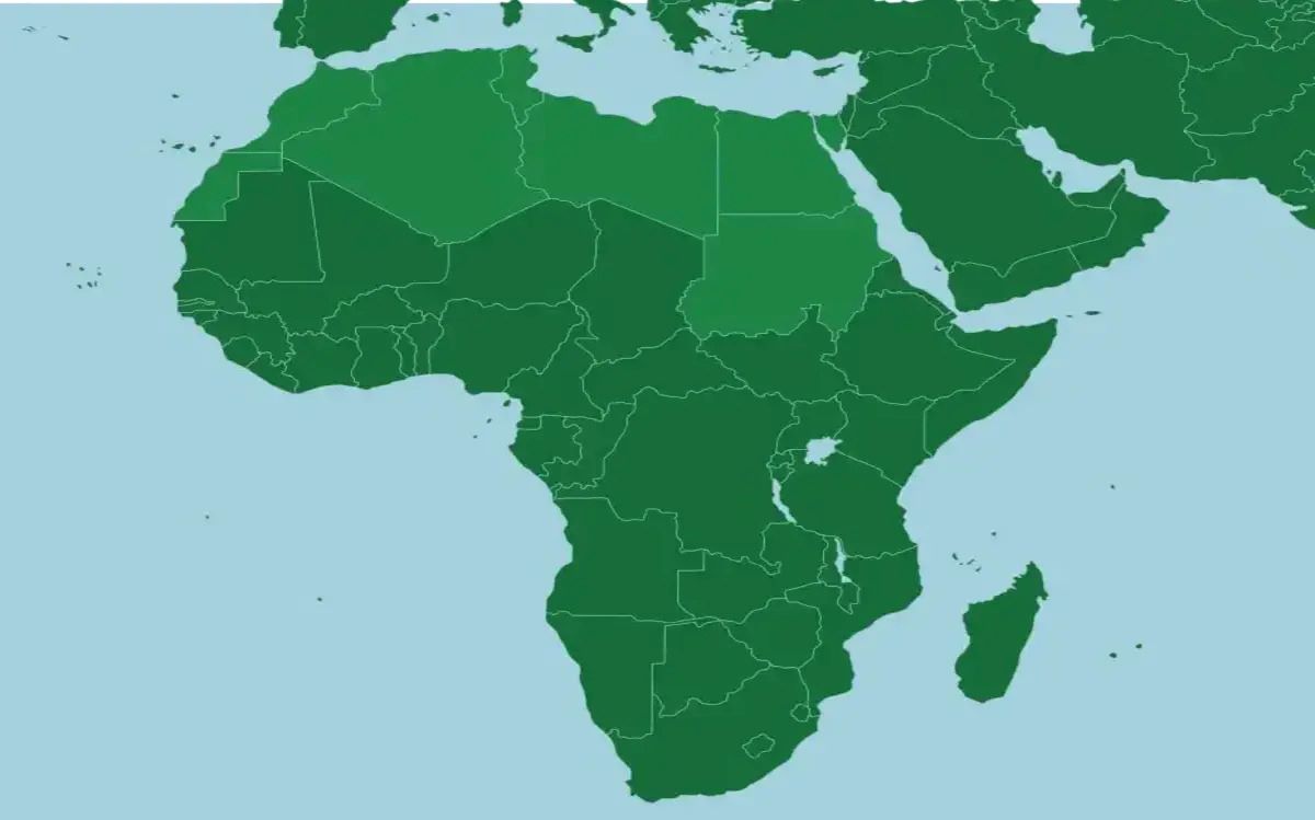
North Africa is a region rich in history, culture, and diverse landscapes. From the vast Sahara Desert to the bustling cities along the Mediterranean coast, there’s much to learn about this part of the world. Challenge yourself with this quiz and see how well you know the geography of North Africa!
We recommend that you do not leave the page that you are taking this quiz in. Stay honest 🙂
North Africa Map Quiz Questions Overview
2. Which North African country is known for its ancient pyramids?
Morocco
Tunisia
Egypt
Sudan
4. Which mountain range spans across Morocco, Algeria, and Tunisia?
Atlas Mountains
Sahara Mountains
Nile Mountains
Ahaggar Mountains
5. Which North African country has a coastline along both the Mediterranean Sea and the Atlantic Ocean?
Algeria
Morocco
Tunisia
Egypt
6. Which river is the longest in the world and flows through Egypt?
Amazon River
Nile River
Yangtze River
Mississippi River
7. Which city is the capital of Tunisia?
Sousse
Tunis
Sfax
Gabes
8. Which desert covers most of North Africa?
Kalahari Desert
Gobi Desert
Sahara Desert
Arabian Desert
10. Which North African country is home to the ancient city of Carthage?
Libya
Morocco
Tunisia
Egypt
We recommend that you do not leave the page that you are taking this quiz in. Stay honest 🙂
Can Your Friends Do Better Than You in This Quiz?
Share this quiz with your friends and compare results.


Was this page helpful?
More Popular Geography Quizzes:
-
 Top Quiz
Europe Quiz
-
 Top Quiz
Kenya Ferry Quiz
-
 Top Quiz
National Parks Quiz
-
 Top Quiz
Geography Quiz
-
 Top Quiz
Caribbean Island Quiz
-
 Top Quiz
Bing Mountains Quiz
More Interesting Quizzes For You:
-
 Top Quiz
Fluid and Electrolyte Quiz
-
 Top Quiz
Avatar Quiz
-
 Top Quiz
CompTIA A+ Quiz
-
 Top Quiz
World Series Winners Quiz
-
 Top Quiz
LeBron James Quiz
-
 Top Quiz
Chipotle IQ Test Quiz