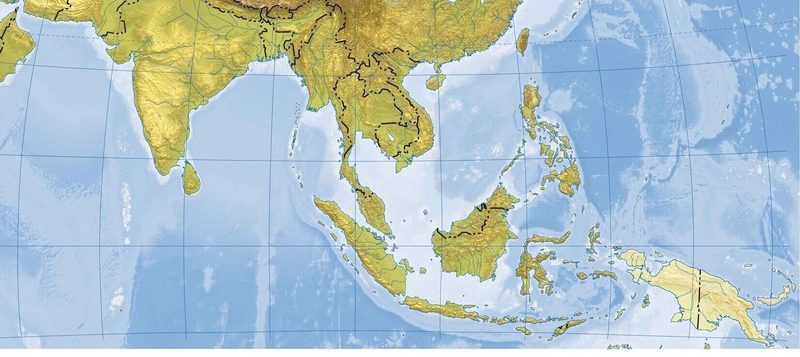
The South Asia Physical Map encompasses a vast area that includes countries like India, Pakistan, Bangladesh, Nepal, Bhutan, Sri Lanka, and the Maldives. This region is characterized by its diverse geography, ranging from the towering Himalayas in the north to the extensive coastal plains in the south. Notable geographic features include the Indus River, which has been crucial to the development of ancient civilizations, and the Thar Desert, one of the largest arid regions in the world. The region's physical geography plays a significant role in its climate, agriculture, and cultural practices.
Key Geographical Features
Among the most significant geographical features of South Asia is the Himalayan mountain range, which stretches over 1,500 miles and contains some of the highest peaks on Earth, including Mount Everest, which rises to 29,032 feet. This range serves not only as a natural border between India and Tibet but also influences the climate of the surrounding regions, creating a unique ecosystem. Furthermore, the Ganges River, considered sacred by millions, flows through northern India, providing vital resources for agriculture and sustaining large populations.
Climate and Biodiversity
South Asia experiences a variety of climates, from the tropical monsoons of the south to the arid desert conditions of the northwest. This diversity in climate fosters a rich array of biodiversity. The region is home to numerous wildlife sanctuaries, including Corbett National Park in India, which protects endangered species such as the Bengal tiger. Additionally, the Western Ghats, recognized as a UNESCO World Heritage site, boast a remarkable number of endemic species, showcasing the ecological significance of this area.
Impact of Geography on Culture
The physical geography of South Asia has significantly influenced its cultural practices, settlement patterns, and economic activities. The fertile plains of the Ganges are the cradle of agriculture, while the mountainous regions have fostered unique cultures and traditions adapted to the harsh terrain. Major cities like Delhi and Kolkata have developed along important trade routes that follow the region's rivers and valleys, highlighting the profound relationship between geography and urban development.
Dive into this quiz to explore the fascinating physical map of South Asia, covering its mountains, rivers, and unique geographical features. Can you score 10/10 and prove your mastery of South Asian geography?
No comments yet. Be the first!